GIS and Geospatial Technology Certificate
Add high-demand GIS skills to your degree program. Learn spatial thinking and data visualization skills that enrich analysis and improve decision-making across dozens of industries.

Social:
The GIS and Geospatial Technology Certificate complements many majors, giving you in-demand skills to boost your value in the job market. A Geographic Information System is a computer-based system for managing and analyzing spatial data, and organizations across nearly every field now need people who can solve spatial problems in near real-time.
- Location intelligence, agriculture, archaeology, and civil engineering
- Defense, emergency management, homeland security, and insurance
- Natural resource management, public health, urban planning, and transportation
A Booming Industry
The global GIS industry will reach $24.6 billion by 2030, up from $8.18 billion in 2020 — an 11.6 percent compound annual growth rate. The average U.S. salary for GIS professionals is about $73,000.
ON THIS PAGE
Why earn this certificate here?
Complements Any Major
Add in-demand spatial analysis skills to whatever degree you’re already pursuing, boosting your value across dozens of industries.
Flexible Course Formats
Most classes are offered online, with some available in mixed-mode or face-to-face formats to fit your schedule.
Hands-On ArcGIS Training
In-class lectures and lab assignments provide a comprehensive, guided experience with industry-standard ArcGIS software.
Free Tuition with the Go Blue Guarantee!
UM-Flint students are automatically considered, upon admission, for the Go Blue Guarantee, a historic program offering free tuition for high-achieving, in-state undergraduates from lower-income households. Learn more about the Go Blue Guarantee to see if you qualify and how affordable a Michigan degree can be.

Curriculum Overview
The GIS and Geospatial Technology Certificate consists of five courses totaling 17-18 credits — enough to qualify for entry-level job placements. Four required courses cover spatial analysis, cartographic design, data management, remote sensing, and spatial intelligence. You’ll choose one elective from project management, geospatial modeling, spatial data science, environmental GIS, health GIS, spatial statistics, web mapping, or Python coding.
Geographic Information Systems manage and analyze spatial data using technologies like IoT sensors, aerial surveys, and smart devices. This program blends hands-on training with foundational GIS concepts, teaching spatial thinking and data visualization skills that improve decision-making in fields from civil engineering to public health.
Career Outlook
Your GIS and Geospatial Technology Certificate from UM-Flint will boost your prospects in a wide variety of careers. Consider these job projections for just a few possibilities from the U.S. Bureau of Labor Statistics:
Database Administrators and Architects
9%
Job growth through 2030
11,500
Job openings annually through 2030
$101,000
Median annual salary
Market Research Analysts
19%
Job growth through 2030
99,800
Job openings annually through 2030
$63,920
Median annual salary
Urban and Regional Planners
4%
Job growth through 2030
3,800
Job openings annually through 2030
$78,500
Median annual salary
Other GIS-adjacent careers with strong outlooks include cartographers and photogrammetrists ($68,900 median salary), environmental scientists and specialists ($76,530 median salary), and surveyors ($61,600 median salary).
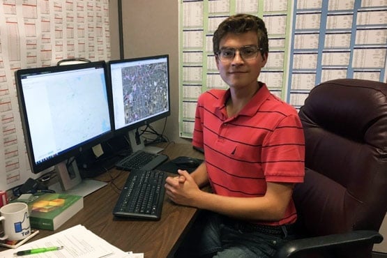
“I graduated from UM-Flint in May 2018 with a Bachelor of Science in Energy and Sustainable Systems. I’ve used Geographic Information Systems in both of my positions post-graduation. The GIS Certificate and the subsequent coursework that accompanies it have helped me gain relevant experience that I have utilized in my day-to-day work since graduating. The in-class lectures and lab assignments provided comprehensive guidance through the ArcGIS Software.”
Zachary Hayes
Energy and Sustainable Systems, 2018
Program Contacts
To learn more about increasing your job prospects by adding the GIS and Geospatial Technology Certificate to your degree program, talk to your academic advisor or reach out directly to the program director.
Program Director